It’s not just water. It’s ice. Massive, moving slabs of frozen time that reshape continents.
If you look at a map of the southwest Pacific, New Zealand jumps out. Two main islands. North and South. Roughly 900 miles east of Australia. But don’t let the distance fool you. The geology here is messy. Volcanic. Unpredictable. And beneath the active volcanoes lies something far older, and far colder.
Glaciers.
The Ice River
What exactly is a glacier? Think of it as a slow river. Except instead of water, it’s ice. Hundreds, sometimes thousands, of meters thick. It flows. It grinds. It waits.
These ice bodies don’t just sit on mountains. They carve them. They are found in deep valleys and form the edges of massive ice sheets. As they move, they drag rocks along the bottom. Like a diamond cutter on glass, they slice into the earth.
This is glacial activity in real-time. Slow, yes. But undeniable.
Into the Fjord
The result? A fjord.
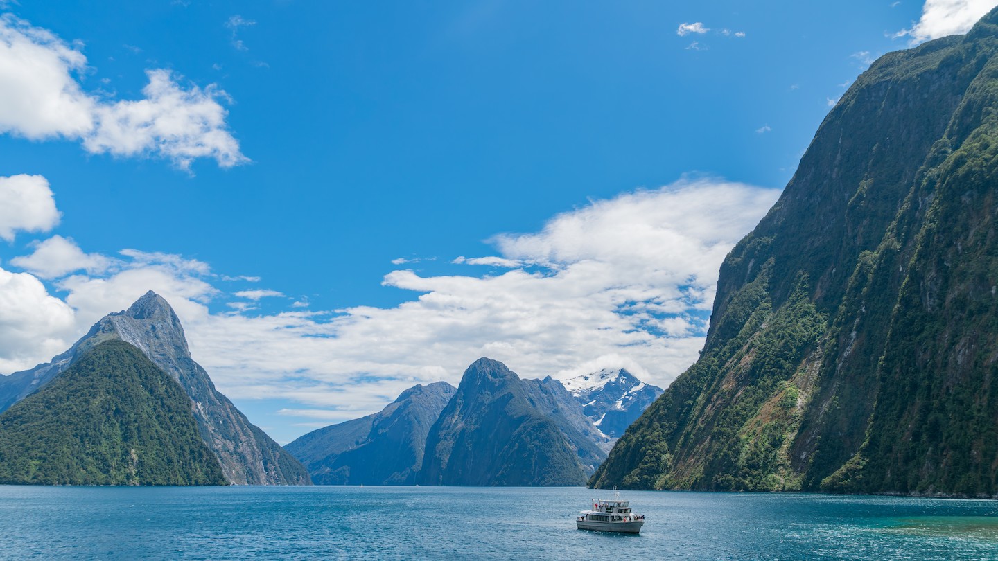
A fjord is a long, narrow inlet with steep, dramatic sides. It looks like the ocean punched a hole into the land. That’s because, effectively, it did.
These inlets are carved by the very glaciers described above. The ice cuts a valley. Deep and wide. Then the ice melts. The sea rushes in. Now you have saltwater filling a U-shaped ditch that was once filled with ice.
It’s simple. It’s brutal. It’s beautiful.
Salt and Soil
To understand the geography, you need to understand the medium. The sea isn’t a lake. It’s salty. Oceans cover the globe, their levels averaging out the tides. But when that ocean water fills a glacial trough, it creates a specific type of terrain.
The terrain in fjord regions is often rugged. Boulders. Bogs. Dense forest clinging to cliffs that drop straight into deep, cold water. It’s a landscape defined by verticality.
And because New Zealand sits on a volatile tectonic plate, the ground itself is restless. Earthquakes happen. Submarine landslides occur. These disturbances can push water upward, creating tsunamis—long, high waves that travel across the sea